Surveying
At S. W. Howell, Inc. we strive to follow the Footsteps of our Founder by providing high quality service and ethical solutions in our Surveying.
Land surveying in the state of Texas is defined as professional surveying in section 2 of the Professional Land Surveying Practices Act, as quoted below...
"Professional surveying" means the practice of land, boundary, or property surveying or other similar professional practices. The term includes any service or work the adequate performance of which involves the application of special knowledge of the principles of geodesy, mathematics, related applied and physical sciences, and relevant laws to the measurement or location of sites, points, lines, angles, elevations, natural features, and existing man-made works in the air, on the surface of the earth, within underground workings, and on the beds of bodies of water for the purpose of determining areas and volumes for:
- A: the location of real property boundaries;
- B: the platting and layout of lands and subdivisions of lands; or
- C: the preparation and perpetuation of maps, record plats, field note records, easements, and real property descriptions that represent those surveys. To the extent these services or types of creative work meet this definition, the term includes consultation, investigation, evaluation, analysis, planning, providing an expert surveying opinion or testimony, and mapping.
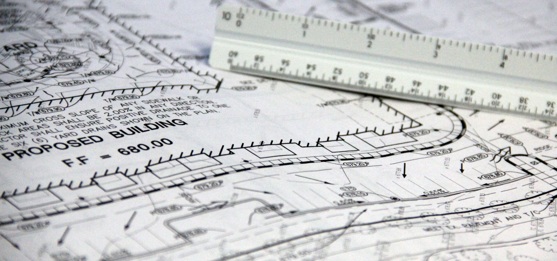
Boundary Survey
A boundary survey of the subject property will be made and the property corners will be located and verified or reset. A check for violations or encroachments onto or from the subject property will be made. This of survey can be used, by the property owner, for the construction of a fence, structure, or other improvements. There are several types of boundary surveys including the following: lot surveys, lot splits, and tract surveys.
ALTA/ACSM Land Title Survey
This is the most comprehensive type of survey and improvement location. It covers all aspects of the boundary survey and improvement location and identification of any additional evidence of possession or use, which could be adverse to the interests of the purchaser. This type of survey is normally only performed on commercial property because of the expense involved.
Contractor Construction Staking
This type of survey is for construction projects. We provide the necessary stakes to control the horizontal and vertical alignment so contractors can complete their projects. Examples of contractor construction staking include the following: bridges, streets, highways, runways, buildings, sewer lines, water lines, area grading, and parking lots. We have worked with many contractors in Central and Western Kansas on both private and public projects.
Topographic & Site Surveys
This is a survey of real property with the main purpose of determining the configuration of the surface of the ground and the location of all natural and artificial objects, including utilities, drainage ways, structures, ingress and egress to the property and any other visible limitations or enhancements to the property. This survey should be performed in conjunction with a Boundary Survey to show lines of possession and is normally conducted for an architectural planning or engineering design projects.
Subdivision Platting
Subdivision platting is the process of breaking down a large tract of land into smaller lots and blocks with the intent of selling them. Subdividing land is a long process that entails many small steps. We are here to guide you through the process, and provide all the necessary data to get your project done as quick as possible. If you are interested in subdividing some of your land, contact us, and we will walk you through the process in depth.
Engineering & Design Survey
Engineering and design surveys are used by engineers and architects as the base map before the design process begins. They allow the designer to see what is happening on the ground so an accurate set of plans can be developed. The data included on these surveys is very comprehensive. This eliminates visits to the site, and guarantees the best possible finished product. Data collected includes contouring the site, locating utilities, existing structures, improvements, landscaping, overhead obstructions, any other features the designer deems necessary, and in most cases property lines are determined. We have provided data to many engineers and architects throughout Central and Western Kansas. We have the capabilities to convert our data into a wide range of programs and deliverables.
As-built Surveys
As-built surveys are done after a construction project has been completed. They are used to verify that everything was built to the specifications of the project. They also show any changes that occurred during the construction process that needs to be recorded for future reference.
Environmental Surveys
Environmental surveys or monitoring well surveys are done for engineers who are working towards cleaning up the environment. We can provide detailed site plans before the remediation process begins, and we can collect well data after the process has begun. We are fully capable of providing state plane coordinates, latitude & longitude, and elevations tied to any vertical datum needed.
Legal Descriptions
Legal descriptions are typically provided for attorneys, banks, and title companies. Most times a full boundary survey is recommended, but there are instances when a legal description is all that is required.
Flood Elevation Certificates & LOMA's
Flood surveys relate to the Federal Emergency Management Agency's floodplain program. FEMA has developed flood maps known as FIRM's (Flood Insurance Rate Maps). These maps are used to determine how much flood insurance home or business owners must pay if they are located within a special flood hazard area. Due to the nature of the FIRM's and how vague they can be, some owners may be paying unnecessary or higher rates. By using advanced data collection techniques we can determine if a parcel of land or structure is located in a special flood hazard area. We can also fill out the proper paper work for submittal to FEMA. The one time fee for a flood elevation certificate or LOMA (Letter of Map Amendment) may save you hundreds or thousands of dollars over a 20 or 30 year mortgage.
Miscellaneous Surveys
Other surveys we preform include the following: utility surveys, pipeline surveys, stockpile surveys, borrow area surveys, tower site surveys, easement surveys, no start surveys, archeological surveys, and forensic surveys. If you have a question about a survey that we don't have listed, please call us
Drone Surveys
Drone technology allows us to cover a large area with High Resolution photogrammetry, this will allow us to do detail topographic maps and provide our client a high resolution photo of the area. This is a great time saver for clients of large and difficult to traverse tracts.